
01
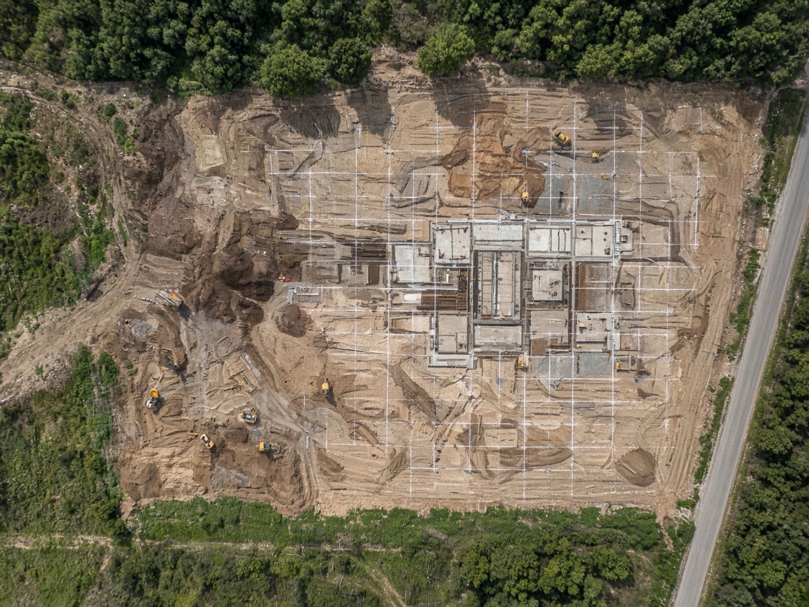
Aerial Photography & Video
High-resolution stills and cinematic video for sites, facilities, and marketing.
View serviceCapabilities
Six integrated service lines that cover the full aerial workflow — photography, mapping, surveying, inspection, and documented reporting.
Service lines
Every scope includes sensors, coverage area, and a flight window that keeps the site operational.
High-resolution stills and cinematic video for sites, facilities, and marketing.
View serviceRepeatable progress maps so owners and GCs can see the whole site.
View serviceSurvey-grade aerial mapping, 3D models, and measurable site data.
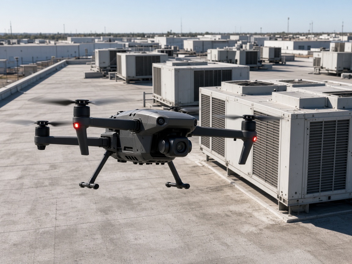
View serviceRadiometric thermal flights for roofs, electrical, and mechanical assets.
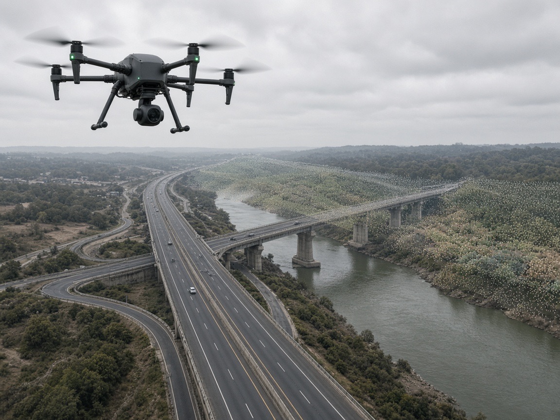
View serviceLiDAR and close-range inspection for corridors, structures, and hard-to-reach assets.
View serviceAerial inspection for tank farms, pipelines, and energy facilities.
View serviceHow we work
Predictable execution from first briefing to processed deliverables — documented at every stage.
We walk the site or review plans, confirm airspace, access, and the data you need before quoting a flight window.
You receive a written scope with sensors, coverage area, deliverable formats, and pricing — typically within 48 hours.
We file authorizations, set ground control if required, and coordinate with site safety so operations stay open.
Certified pilots fly the planned grid or inspection path with the specified camera, thermal, or LiDAR payload.
Imagery, orthomosaics, models, and reports are processed, QA'd, and delivered with a documented closeout.
Why owners choose us
Documentation, safety, and accountability that hold up to vendor onboarding and multi-site programs.
Remote pilots certified under FAA Part 107 with documented flight planning, airspace authorization, and insurance on every mission.
General liability and hull coverage sized for commercial, construction, and industrial jobsite requirements.
Jobsite briefings, NOTAM and airspace checks, and coordinated flight windows that keep crews and equipment clear.
One project manager from mission briefing through processed deliverables and final handover.
Request a site assessment and receive a written scope with sensors, coverage, deliverables, and pricing — typically within 48 hours.